

We offer fully automated aerial image acquisition.

We offer aerial triangulation, point cloud generation, DTM / DSM creation etc.,
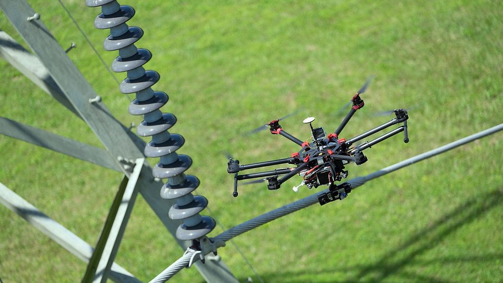
Services for cell towers, cooling towers, oil & gas infrastructure, solar farms etc.,
Elevate Values from The Sky
Who We Are...
Spatial Mate is a Consulting Firm, providing Quality and Cost-effective Geospatial solutions to various industries across the globe. We are the single roof service provider using Satellite, LiDAR, UAV and Traditional Survey Technologies to various Mapping Applications like Construction & Engineering, Defense & Security, Energy, Environmental Management, Natural Resources, Surveying & Mapping, 3D Modeling of Structures. We also provide Drone-based Data acquisition, Processing, Analyzing and Delivery quality report with better accuracy and less cost.
We are open for partnerships and ready to work with you as a Consultant, Spatial Data Provider, Joint Venture / Partner, Short and Long term Advisor, Trainer for your staffs on tailored Geo-information applications.
Our Vision
To became a Global Consultant to provide Geospatial service through cutting-edge technologies for better
spatial decision support system
Our Mission
-
To emerge leading and promising consultant in the area of geoinformatics and all related application areas.
-
Provide international standard services and win loyalty of clients and the public at large.
-
To emerge as a center of Excellence in action research integrating UAV / Drone and Photogrammetry as a tool and technique.
-
Educate the government, private and general public about the benefits of using geospatial technologies for sustainable development.